
Features
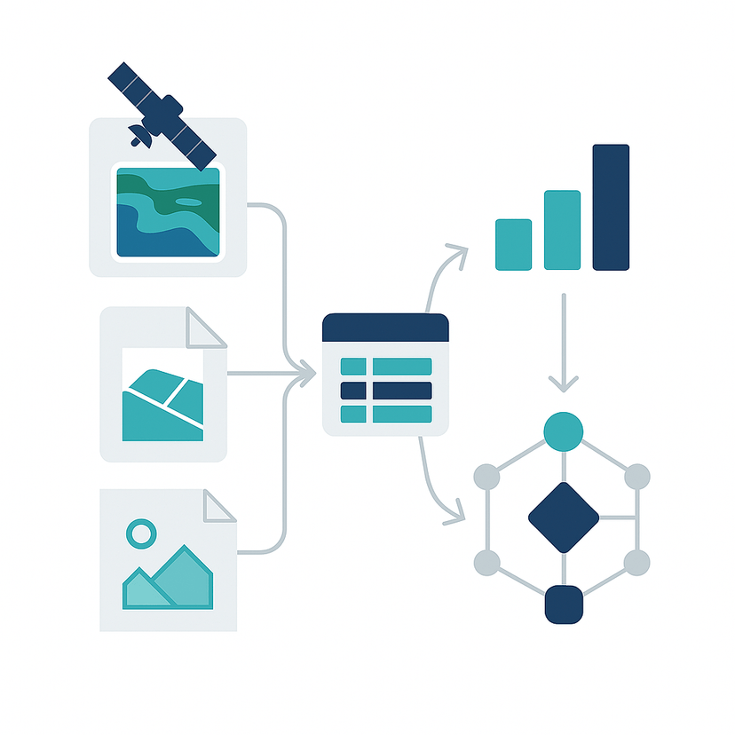
Geospatial Data Processing
We streamline your geospatial pipeline—from raw imagery and shapefiles to structured, standardized datasets.
Multi-format Support
Handle raster, vector, remote sensing, and photo-based data.
Noise-Free Cleaning
Remove duplication and errors with smart automation
Cross-Platform Conversion
Seamlessly bridge formats like GeoTIFF, SHP, CSV, and more.
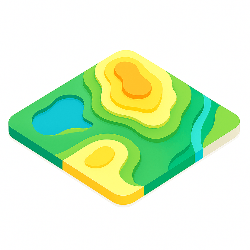
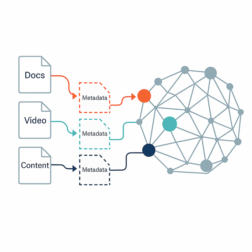
Knowledge Graph & Semantic Structuring
We transform your data into semantic knowledge structures that are searchable, scalable, and logically connected.
Ontology-Based Modeling
Create structured meaning behind every location or asset.
Knowledge Graph Construction
Link entities, time, space, and relationships into one view.
Query-Ready Architecture
Enable AI-driven analysis and easy cross-filtering.
Insight-to-Action Pipeline
We don’t just process data—we help you make better decisions and uncover opportunities.
Product Strategy Alignment
Use data to solve real product pain points.
Decision Intelligence
Turn complex spatial data into strategic insights.
Innovation Acceleration
Discover what’s next through smart visual analytics.
What Our Clients Say
Hear from those who have partnered with us.

John Smith
CEO at Company
"GeoXC's AI-driven insights have transformed how we approach financial planning for our clients. It's an invaluable resource in the modern financial landscape."

Jane Doe
CTO at Startup
"As a CTO, I'm impressed by GeoXC's robust security measures and seamless integrations. It's rare to find an app that balances user-friendliness with such advanced technology."

Emily Johnson
Product Manager
"GeoXC is revolutionizing personal finance management. Its intuitive design and powerful features make it an indispensable tool for anyone serious about financial growth."